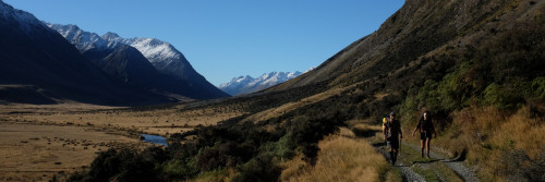
17. Navigating
The best time to walk Te Araroa | Choosing a direction | How long it takes | Fitness and experience | Permits and fees | Accommodation | Clothing and equipment | Cost | Visas | Safety precautions | Fishing | Resupplying and food parcels | Getting to and from Cape Reinga | Getting to and from Bluff | Stewart Island Rakiura | Taking my dog, bike, horse | Navigating
Check out the trail notes and maps on this website for detailed information.Trail notes and maps
We update our maps each year in early October. We recommend that you do not print these out until after the annual update. We publish news of the annual update on our website and Facebook page. Trail Notes are updated throughout the year.
These resources are free to walkers. But you should consider making a donation to support the trail.
Keep a regular eye on the trail status page where we note trail damage, temporary closures and other significant changes.
Please adhere to all closures and diversions. Te Araroa relies on the goodwill of landowners and trail neighbours.
There are also some seasonal closures on some Te Araroa routes. Generally, these are due to lambing, forestry activity or other special events. Please observe these closures.
Te Araroa has a Wikipedia page which a group of walkers developed and maintained, not Te Araroa Trust. It can be a good point of reference. The page title is Te Araroa Trail. Please note Te Araroa Trust cannot guarantee the accuracy of these entries.
We now also have our own trail app. We suggest you download it.
Trail marking
There are a variety of markings along the trail. These include orange triangles in the remote bush areas and Te Araroa logos/signs in more built up areas. See examples below.


![]()